There are 15 National Parks in England and Wales. A recent announcement has been made to include the Howgill Fells and some other territory in this protected category. So the Lake District and Yorkshire Dales will be connected up.
Nobody thinks it’s a good idea to take around 200 square miles out of National Park protection to keep the overall protected land area the same and to compensate for the reduced opportunity for innovative land use and rural development. Except me, and perhaps a few others who think protectionism has gone too far, and it is over-rated in terms of meeting public need for recreation.
This blog is an attempt to use the trip-advisor ratings on 01.12.2015 to help identify which National Park is worst and should be taken out of special protected status. The data that follows shows the ranking of the top two ‘things to do’ in National Parks in the county which contains most of that National Park. These are not necessarily the most visited attractions, ( Windermere probably draws more visitors than top-rated Derwentwater ) but the ones with the highest ratings on trip-advisor by the unsubsidised ( by government ) free market of opinion.
The Peak District – created 1951, area 555 sq mi, main county Derbyshire
1st Dovedale, Ashbourne
16th Goyt Valley
This means the 2nd to 15th best ‘things to do’ in Derbyshire are NOT in the Peak District National Park.
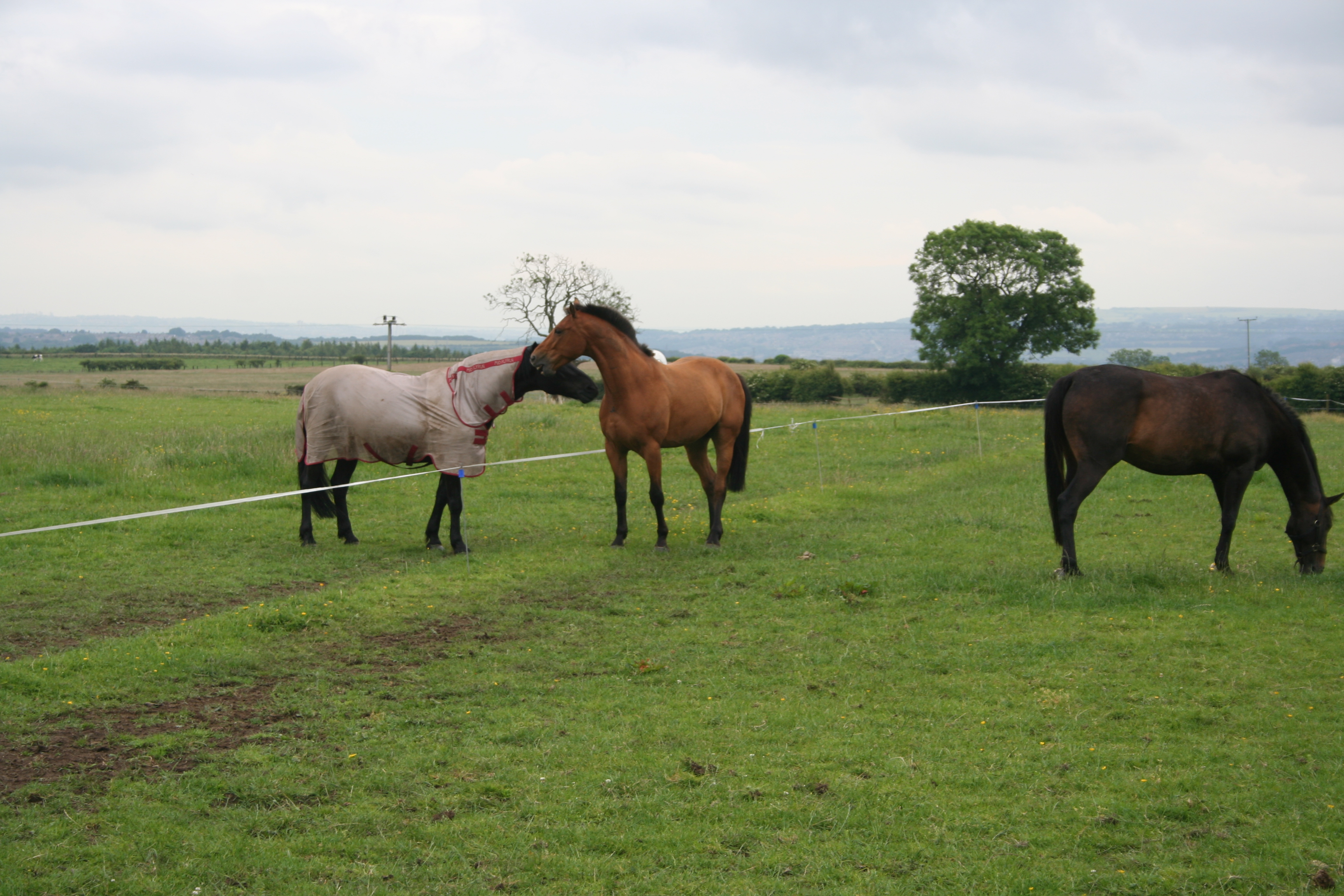
The Lake District – created 1951, area 885 sq mi, main country Cumbria
1st Derwentwater
2nd Catbells Lakeland Walk
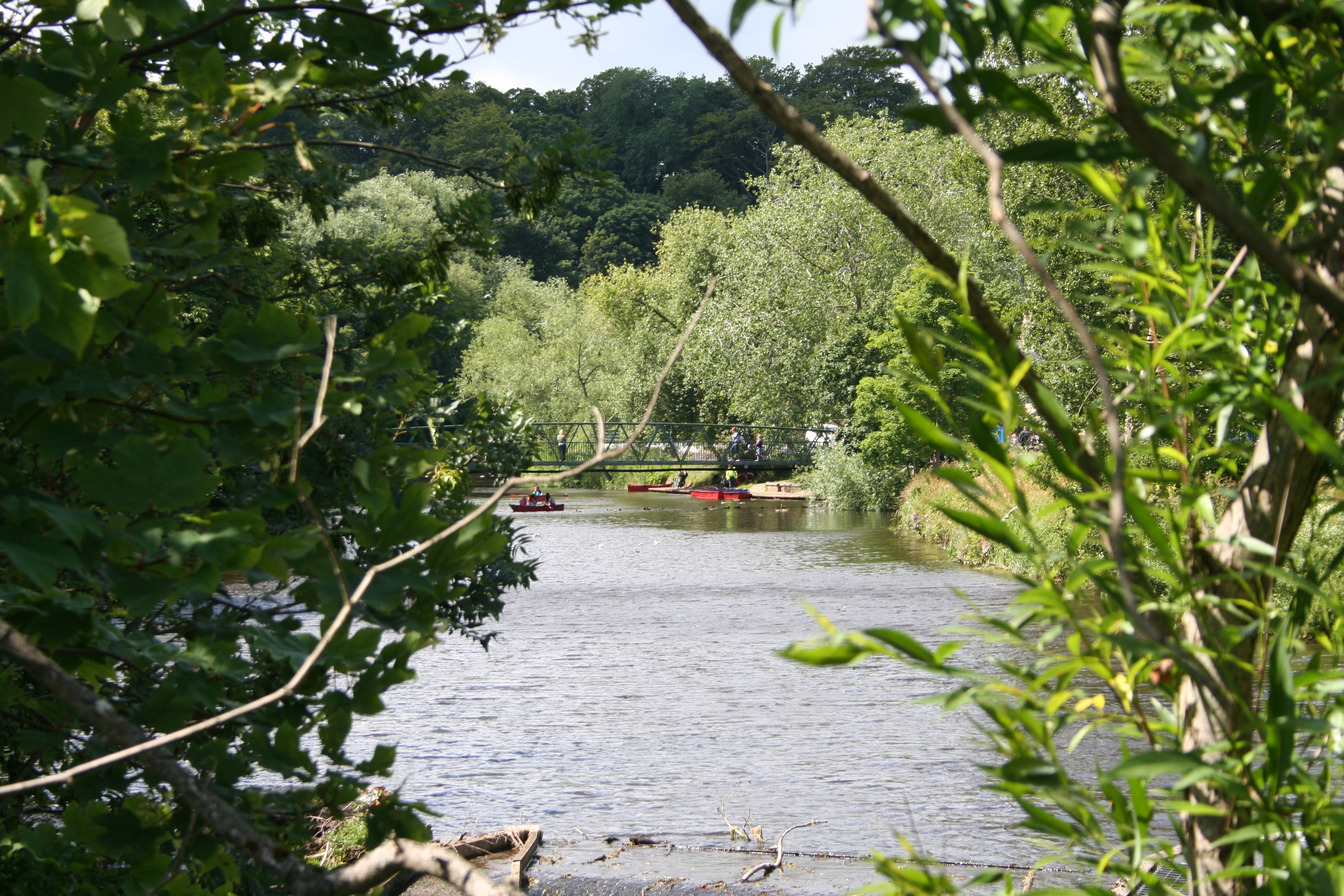
A lot of the other best things to do in Cumbria are also in this National Park. Here’s a  shot of top-rated Derwentwater. It’s got actual people in it.
Snowdonia – created 1951, area 827 sq mi, main county Gwynedd
1st Ffestiniog Railway
7th Blue Lake, Fairbourne
Dartmoor – created 1951, area 369 sq mi, main county Devon
17th Lydford Gorge
42nd Burrator Reservoir
This is incredible. Of the 40 best things to do in Devon, only one is in Dartmoor. The public like tripping to Devon but they overwhelming don’t like including a trip to Dartmoor, or if they do, they certainly don’t rate it as good as the other stuff they can do outside the park boundary.
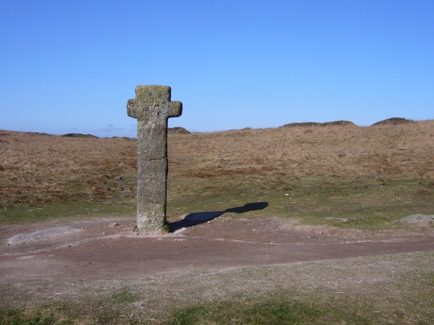
A boundary marker for the ‘Forest of Dartmoor ‘ – no trees and no people. It should be noted the term Forest on old maps often means a former royal hunting ground and doesn’t imply whether there were trees there once. It’s still a depressingly lifeless shot.
Pembrokeshire Coast – created 1952, area 239 sq mi, main county Pembrokeshire
2nd Pembrokeshire Falconry
3rd Welsh Coastal Path
North York Moors – created 1952, area 554 sq mi, main county North Yorkshire
7th International Centre for Birds of Prey, Helmsley
17th Rievaulx Abbey
Yorkshire Dales – created 1954, area 683 sq mi, main county North Yorkshire
9th Forbidden Corner, Middleham
10th Malham Cove and Gordale
Exmoor – created 1954, area 268 sq mi, main county Somerset
Nothing. Seriously – of the 60 best things to do in Somerset none are in Exmoor. Exmoor covers a bit of Devon too, and doesn’t rate in Devon’s best things to do.
Northumberland – created 1956, area 405 sq mi, main county Northumberland
7th Keilder Observatory
13th Hadrian’s Wall
Brecon Beacons – created 1957, area 522 sq mi, main county Blaenau Gwent
11th Skirrid Mountain inn
No other attractions within the park in this county are rated.
The Broads – created 1989, area 117 sq mi, main county Norfolk
10th Horsey Beach
15th BeWILDerwood
New Forest – created 2005, area 224 sq mi, main county Hampshire
5th Paulton’s Park, home of Peppa Pig World
7th New Forest, Lyndhurst
South Downs – created 2010, area 634 sq mi,main county East Sussex
3rd Beachy Head
4th Seven Sisters Country Park
Thoughts: the clear best National Parks are the Lake District and the Pembrokeshire Coast which should be protected even if the UK population rises to 200 million.
The clear worst is Exmoor which has negligible value in terms of public enjoyment and recreation. The relevant committee should identify any bits of it which should be classed as SSSIs ( Site of Special Scientific Interest ) and then wind up the Exmoor Park Authority completely.
Dartmoor and the Brecon Beacons could justifiably be shrunk in my view.
If we don’t be selective about what landscapes we protect in the alleged interests of the public, we will end up like now where we are protecting landscapes due to the whims of a land owning elite, at unjustifiable cost, and which the public avoid.


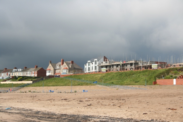
 There is open countryside towards the next nearest town of Ashington:
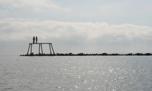
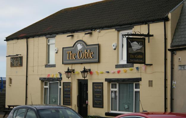
 And best of all is the seaside itself, featuring a sculpture of a couple looking out to sea: